Access to Transportation
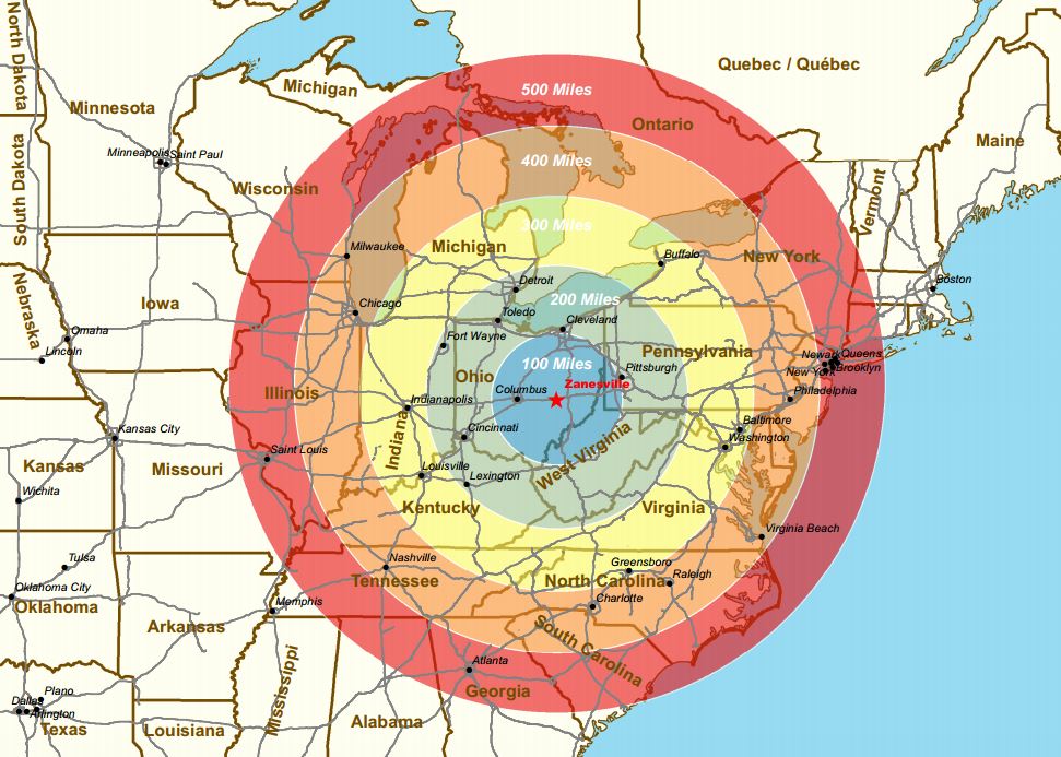
Zanesville & Muskingum County is well positioned to servethe population centers of the East Coast and the Midwest.
Zanesville and Muskingum County are located within one day’s truck drive of about 60% of the U.S. population. The map to the right shows our proximity to major U.S. population centers, all within a 500 mile radius, even reaching into Ontario, Canada.
Muskingum County resides at a logistical sweet spot as approximately 10 miles to east of the county I-70 interchanges with I-77 and 37 miles and 48 miles to the west, I-70 interchanges with I-270 and I-71, respectively.
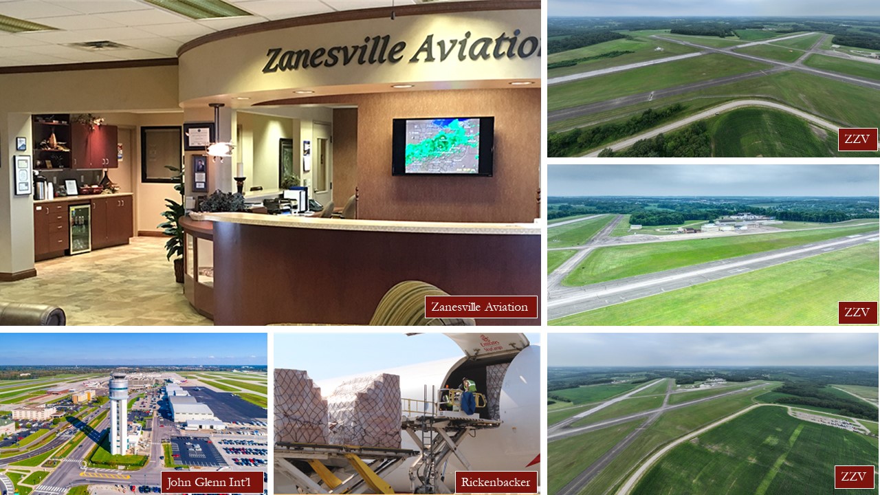
Zanesville Municipal Airport (ZZV) and Zanesville Aviation are located approximately six miles east of Zanesville and one mile south of I-70 Exit 159. ZZV has two 5,000′ runways and the airport can accommodate corporate jets. Located at ZZV, Zanesville Aviation has provided safe and reliable transportation to the aviation community for over 70 years and is the premier air-charter service and fixed-base operator for the central Ohio area
Located 54 miles to the west in Columbus, Ohio is the John Glenn Columbus International Airport. Less than an hour drive from Zanesville, traveler’s have easy access to both domestic and international flights.
Also located in Columbus, Ohio is the Rickenbacker International Airport and Intermodal Facility. One of the world’s only cargo-dedicated airports and intermodal terminal is located only 56 miles from Zanesville.
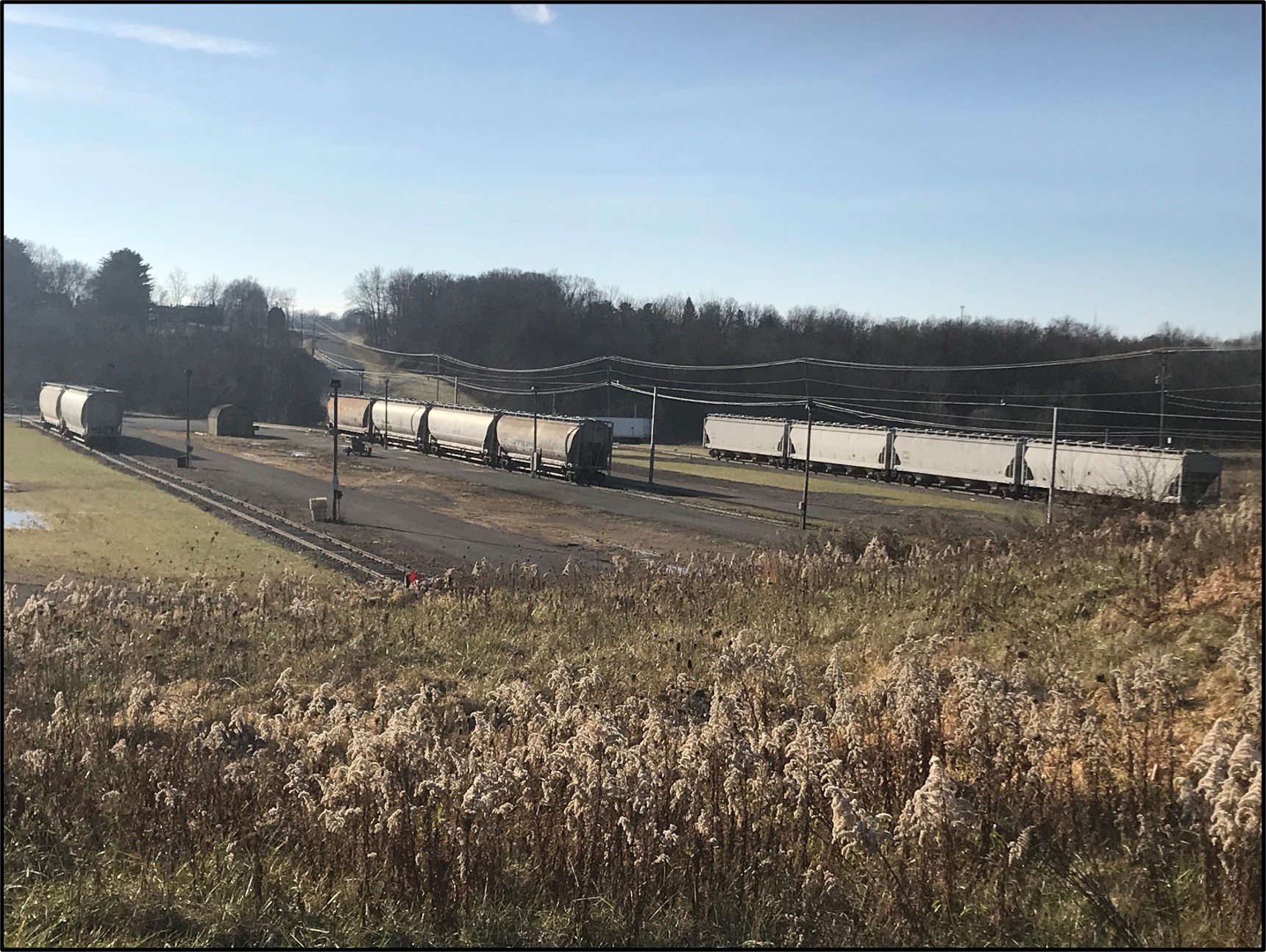
Muskingum County is served by the Ohio Central Railroad, a Genesee & Wyoming, Inc., railroad. Genesee & Wyoming operates 62 regional and short-line railroads in the U.S., Canada, Europe and Australia. Ohio Central owns its own north-south track and leases the east-west Columbus & Ohio River track. To the west, Ohio Central connects with both CSX Transportation and Norfolk Southern (NS) at their intermodal rail yards Rickenbacker Intermodal Terminal in Columbus. To the east, Ohio Central has a connection with NS on the Ohio River at Mingo Junction. Finally, to the north, Ohio Central also connects with the Wheeling & Lake Erie Railroad at Brewster.
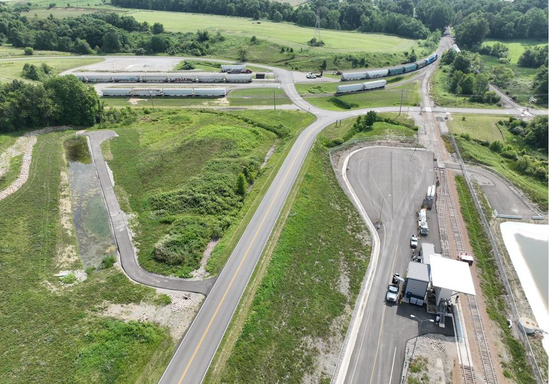
In 2013, 2,000 feet of rail was added at the Eastpointe Business Park. Transloading services are available at the Eastpointe Rail Transfer Station to companies or individuals wishing to move product between rail and trucks. For information on the Eastpointe Rail Transfer Station, contact the Port Authority offices at 740-455-0742.
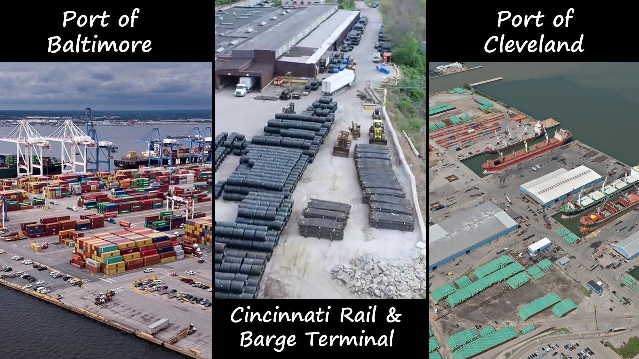
Ease of access to river, lake, and deep sea ports adds an additional transportation option for businesses. The closest ports are all within a one days drive of all locations within Zanesville and Muskingum County.
The Port of Baltimore is the closest deep sea port, located 343 miles to the east (5 hrs, 30 min.). Baltimore’s state-of-the-art terminal is known for being one of the most efficient container terminals in the country.
The Port of Cleveland is located 150 miles north on Lake Erie (2 hrs, 20 min.). It serves as the premier international multimodal trade hub on the Great Lakes and the gateway to America’s Heartland.
Cincinnati’s Barge & Rail Terminal is located 157 miles to the southeast along the Ohio River (2 hrs, 30 min.). The port of Cincinnati is among the largest inland ports in the nation offering access to the Ohio and Mississippi Rivers and beyond.
